
Hampton Roads Families Use Halloween Map to Find Festive Home Displays
A Hampton Roads Halloween map, created by Jennifer Harrison, is helping families locate decorated homes across the region, including many in Suffolk. The map categorizes displays and aims to guide residents to festive houses in areas like Virginia Beach and…

 Norfolk Portsmouth Newport News, VA, October 30, 2026 —
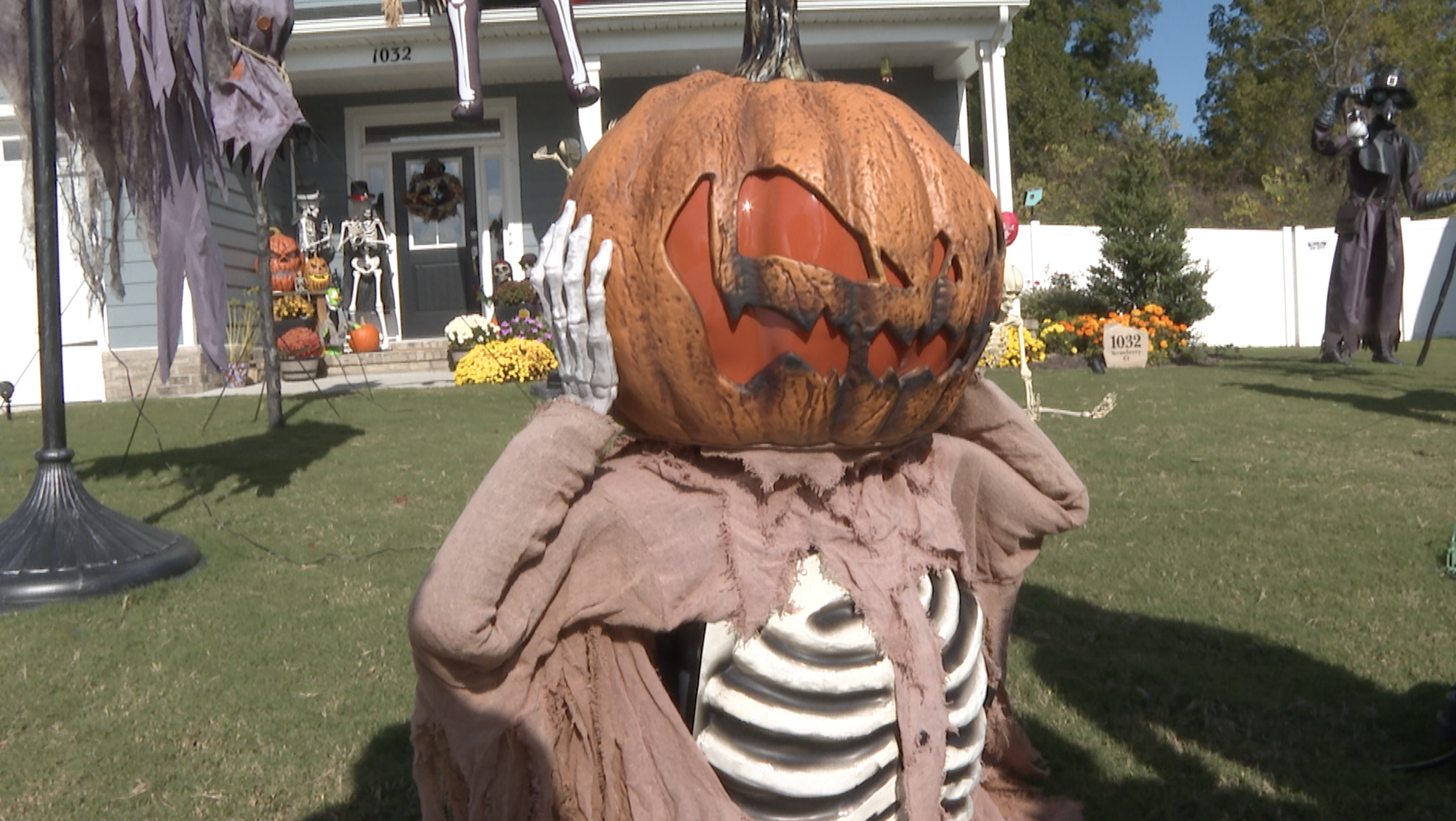
A new resource is guiding families through the Hampton Roads region in search of Halloween spirit. Jennifer Harrison has created a digital map designed to help residents locate homes decorated for the holiday, with a particular focus on areas including Suffolk, Virginia Beach, and the Peninsula.
The map aims to streamline the experience for families looking to enjoy festive displays. It categorizes the decorations, potentially allowing users to find specific types of displays or neighborhoods known for their elaborate setups. This initiative seeks to connect residents with the seasonal decorations spread throughout the Hampton Roads area.
Details regarding the specific categories of displays or the exact number of homes mapped were not provided in the initial summary. The creator, Jennifer Harrison, developed this tool to serve as a guide for those wishing to explore local Halloween celebrations. The map is intended to make it easier for families to discover and visit decorated houses in their communities and surrounding areas without extensive searching.
Story summarized from the original created by Jessica Davis on www.wtkr.com, see more information here.
Media gallery


